From conflicts to co-benefits: integrating energy transition and sustainable fisheries

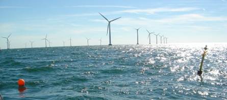
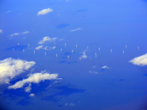
The European marine space is experiencing claims from different users. Bottom trawling faces restriction under the Biodiversity Strategy 2030; offshore wind expansion displaces fishing grounds under the REPowerEU plan; and the sector must decarbonise under the Green Deal, all while stocks may redistribute under climate change. These policies, individually rational, generate spatial trade-offs when implemented simultaneously, yet current assessment frameworks evaluate them in isolation.

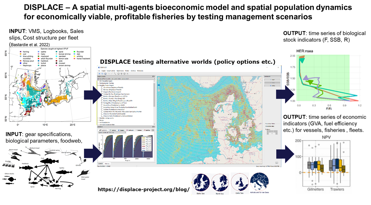
Drawing on a decade of development of the DISPLACE individual-based spatial bio-economic model and its application across five European case studies (Baltic Sea, North Sea, Kattegat, Adriatic, Ionian Sea), we present an integrated framework to quantify these trade-offs. We demonstrate three key findings:

First, not all bottom trawling is equal; gear-specific seabed impact assessments (Eigaard et al. 2017; Rijnsdorp et al. 2020) show that differentiated restrictions outperform blanket closures in both ecological and economic terms.

Second, stock recovery is the most effective decarbonisation lever; rebuilding stocks may reduce fuel use intensity more than technological innovation alone (Bastardie et al. 2022), creating a virtuous cycle between biodiversity and climate objectives.

Third, spatial displacement from offshore wind and MPAs produces heterogeneous impacts; vessel-level modelling reveals that aggregate fleet indicators mask significant distributional effects, with small-scale coastal vessels disproportionately affected (Nielsen et al. 2026).

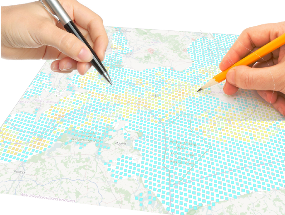
We argue that resolving the “spatial squeeze” requires moving from sequential to simultaneous policy assessment, in which climate, biodiversity, and energy objectives are evaluated within a single spatially explicit bio-economic framework. We propose operational pathways for implementing this approach within the ICES advisory process and the STECF evaluation framework, drawing on lessons from the SEAwise project and recent STECF evaluations of spatial management measures.

Details in:

Bastardie, F., Salvany, L., Cooper, A. M., & Carvalho, N. (2024). A roadmap to reduce the risk of overexploiting EU marine living resources in a changing ocean. Frontiers in Marine Science, 11, 1352500. https://doi.org/10.3389/fmars.2024.1352500

Bastardie, F., Hornborg, S., Ziegler, F., Gislason, H., & Eigaard, O. R. (2022). Reducing the Fuel Use Intensity of Fisheries: Through Efficient Fishing Techniques and Recovered Fish Stocks. Frontiers in Marine Science, 9, 817335. https://doi.org/10.3389/fmars.2022.817335

Bastardie, F., Feary, D. A., Brunel, T., Kell, L. T., Döring, R., Metz, S., Eigaard, O. R., Basurko, O. C., Bartolino, V., Bentley, J., Berges, B., Bossier, S., Brooks, M. E., Caballero, A., Citores, L., Daskalov, G., Depestele, J., Gabiña, G., Aranda, M., . . . Van Vlasselaer, J. (2022). Ten lessons on the resilience of the EU common fisheries policy towards climate change and fuel efficiency – A call for adaptive, flexible and well-informed fisheries management. Frontiers in Marine Science, 9, 947150. https://doi.org/10.3389/fmars.2022.947150

Bastardie, F., Astarloa, A., Binch, L., Bitetto, I., Damalas, D., Depestele, J., Hernvann, P. Y., Lehuta, S., Letschert, J., Maina, I., Mahévas, S., Papantoniou, G., Püts, M., Romagnoni, G., Spedicato, M. T., Sys, K., Tsikopoulou, I., Van Hoey, G., Zupa, W., . . . Rindorf, A. (2025). Anticipating how spatial fishing restrictions in EU waters perform to protect marine species, habitats, and dependent fisheries. Frontiers in Marine Science, 12, 1629180. https://doi.org/10.3389/fmars.2025.1629180

Eigaard, O. R., Bastardie, F., Hinzen, N. T., Buhl-Mortensen, L., Mortensen, P. B., Catarino, R., Dinesen, G. E., Egekvist, J., Fock, H., Geitner, K., Gerritsen, H., González, M. M., Jonsson, P., Kavadas, S., Laffargue, P., Lundy, M., Gonzalez-Mirelis, G., Nielsen, J. R., Papadopoulou, N., … Rijnsdorp, A. D. (2017). The footprint of bottom trawling in European waters: distribution, intensity, and seabed integrity. ICES Journal of Marine Science, 74(3), 847-865.

Nielsen, J. R., Olsen, J., Nielsen, A., Bastardie, F., & Egekvist, J. (2026). Retrospective analyses of offshore wind farm impacts on fisheries and benthic habitat interactions. Frontiers in Marine Science, 13, 1748431. https://doi.org/10.3389/fmars.2026.1748431

Rijnsdorp, A. D., Hiddink, J. G., Van Denderen, P. D., Hintzen, N. T., Eigaard, O. R., Valanko, S., Bastardie, F., Bolam, S. G., Boulcott, P., Egekvist, J., Garcia, C., Van Hoey, G., Jonsson, P., Laffargue, P., Nielsen, J. R., Piet, G. J., Sköld, M., & Van Kooten, T. (2020). Different bottom trawl fisheries have a differential impact on the status of the North Sea seafloor habitats. ICES Journal of Marine Science, 77(5), 1772-1786. https://doi.org/10.1093/icesjms/fsaa050

Impact assessment of spatial planning on the fishery economy and ecosystems

In the competition for marine space, the fishing sector needs to prepare for management impacts from other directives than the EU Common Fishery Policy. Our purpose is to support the sector-specific stakeholders and policymakers and provide them with a tool for evaluating the spatial planning and management scenarios and spatial explicit fishery dynamics. This tool is informed by the different types of fishing activities and other activities occupying marine space. Continue reading “Impact assessment of spatial planning on the fishery economy and ecosystems”

Participatory modeling of fisheries for supporting maritime spatial planning

No HorizonModelling the interactions between fishery and stock dynamics as well as the economic fishery importance on a highly spatial disaggregated scale like in DISPLACE, is useful in context of broader spatial planning, marine management, and stakeholder involvement.

It is important to develop supporting tools for impact evaluations that can inform all parties (scientists, stakeholders, and managers) on the overall fishing sector dynamics on a highly disaggregated scale to develop a collective understanding and common discussion platform based on quantitative predictions of impacts and beneficial/detrimental effects of any new spatial marine planning project . As such, the DISPLACE model can be used to obtain further information on fishermen behavior with direct input from stakeholders (e.g., here).

windmillsSuch an approach should foster management choices to be based on a more objective and transparent basis and on actual feedback from the stakeholders when they react to spatial planning. More participatory management requires quantitative support and a common platform for input that will likely promote good fishing practices and achieve better compliance with the regulations and where stakeholders can feel more engaged in the ecosystem-based fisheries management decision process (also advocated here).

The goal is to also inform managers with quantitative supports about the potential gain of spatial regulations against the cost for displacement when fishermen loose access to valuable fishing grounds and/or have to travel more to go fishing from their home harbor to make a living out of the catches.

High-resolution mapping of fishing activities: toward well-informed marine spatial planning

Multi-sectoral and multi-disciplinary marine spatial planning methods are prevailing in the EU Marine Strategy Framework Directive. Such integrated marine management needs to consider the commercial fishery and all other sector uses of the sea, such as transport, energy exploitation and recreational use.

Consequently, each of these pressures on the marine ecosystem needs to be mapped.

Annual average fishing intensity (2010-2012) at the surface level (left; sediment abrasion < 2cm) and subsurface level (right; abrasion ≥ 2 cm) for all bottom contacting gears from Denmark, Sweden and Germany. (Source: here)

Simultaneously, the EU Common Fisheries Policy recently recognized the importance of accounting for heterogeneity in fishing practices from different fleets for managing
commercial fisheries. It was acknowledged that a shift should take place from managing individual fish stocks towards managing fleets, mixed fisheries, and economic issues.

Fine-grained VMS data enable obvious improvements to describe used areas and spatial fishing pressure with higher resolution than the ICES rectangles. Hence, the linkage of VMS with logbooks constitutes very valuable information for mapping the spatiotemporal heterogeneity of landings and economically important fishing grounds to act as the basis for management decisions and designation of priorities areas.

COLOURBOX527799_fishing_net_small_sizeThese maps can be used directly for conditioning the DISPLACE model and inform area-based management performing strategy evaluation and scenario modelling of different management options associated with, for example, the establishment of spatial regulated areas and displacement of fishing effort in relation to ecosystem conditions (sensitive habitats), variability in fish stock occurrence and other uses of the sea.

Impact assessment of windmill parks on fisheries

DONG Wind Farm 1An on-going work is to apply and downscale the DISPLACE model to the commercially important and busy Western Baltic marine area where several utilisations of the sea currently coexist. In line with this it is evaluated to which extent the international plans for offshore windmill parks in the Baltic area are affecting the fishing opportunities per activity and fishing communities in the vicinity of the planned windmill sites.

Hence, preliminary data mining shows that the planned offshore windmill parks in the area do not really interfere with important fishing grounds for the Danish fisheries. Continue reading “Impact assessment of windmill parks on fisheries”