 The DISPLACE project develops and provides a platform primarily for research purposes, transforming fishermen’s detailed knowledge into models, evaluation tools, and methods to support fisheries research and advice. The model intends to serve as a basis for decision support tools for (fishery) managers.
Among other goals, the economic benefit of stock replenishment and sustainable harvesting can be demonstrated. This contributes to evaluating the combined ecological and economic impacts of fishery management before its implementation (i.e. impact assessment).
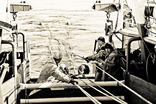
An individual-based model (IBM) on a per-vessel basis covering several fisheries and stocks is a benchmark tool capable of integrating fishermen’s decision-making processes when they face changes in fishery management (e.g. for conservation of fishery resources and the protection of marine ecosystems through technical measures), economic factors influencing the fishery and economic viability, and underlying stock conditions, including spatial and seasonal patterns in resource availability.
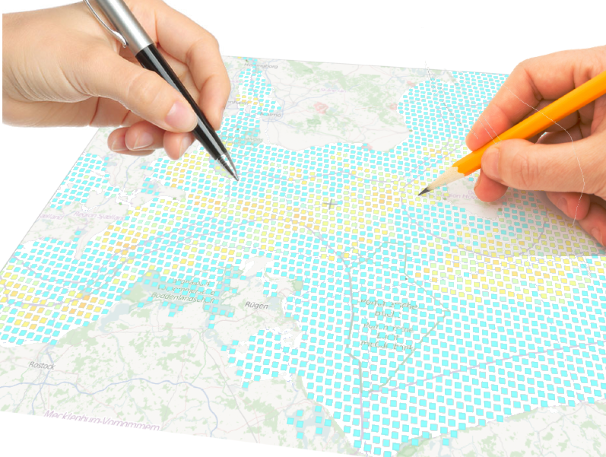
DISPLACE operates at high temporal and spatial resolution (spatio-temporal explicit). It enables contributions to marine/maritime spatial planning, e.g., by evaluating the effects of restrictions on larger and smaller marine areas on stocks and fisheries, thereby informing impact assessments of broader marine management. The economic evaluation assesses spatial restrictions in the fishery, with particular emphasis on whether there are economic benefits or consequences associated with different area restrictions, e.g., those driven by renewable energy or conservation. Additionally, it evaluates whether these benefits compensate for the additional costs of effort displaced to surrounding or new areas, i.e., the bio-economic consequences of fishing effort displacement.
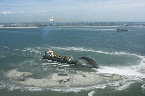
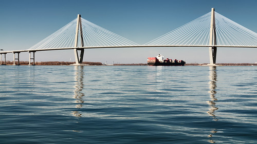 This ultimately incorporates other utilization of the sea such as energy production, transport, recreational use, etc., e.g. offshore windmill farms, large marine constructions, NATURA 2000 areas, transport routes of commercial shipping, pipelines, cables, etc.
Fishermen’s communities have a clear stake in using the sea to ensure food security through seafood, and should not therefore be excluded from the maritime spatial planning process. As a stakeholder once said, “If you are not at the table, you are on the menu!” While fishermen are likely to benefit from designing their own priority areas, the DISPLACE model should support the evaluation and balancing of these important areas against other potential uses and the economic consequences of spatial plans for fishermen´s living conditions.