DISPLACE in the Adriatic Sea

We are setting the first steps in developing a fish and fisheries DISPLACE application for the northern Adriatic Sea in support of maritime spatial planning and management issues, especially from the perspective of the Italian coastal fisheries. The model provides a test platform for running Monte-Carlo simulations that project scenarios of alternative spatial management scenarios and fishing effort distributions. DISPLACE4AdriaticSea2
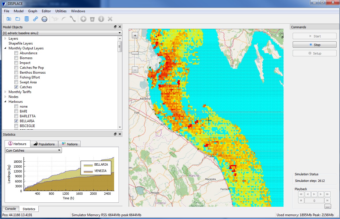
We evaluate how fisheries revenues and environmental benefits are affected. This first application to the Adriatic Sea should provide technical inputs for the development of a bio-DISPLACE4AdriaticSeaeconomic model in order to guarantee effective science based inputs allowing policy improvement and better governance at cross-border level for fisheries management and marine spatial planning.

(Attached screenshots in this margin are very preliminary outcomes and should not be used to give any kind of advice)

Participatory modeling of fisheries for supporting maritime spatial planning

No HorizonModelling the interactions between fishery and stock dynamics as well as the economic fishery importance on a highly spatial disaggregated scale like in DISPLACE, is useful in context of broader spatial planning, marine management, and stakeholder involvement.

It is important to develop supporting tools for impact evaluations that can inform all parties (scientists, stakeholders, and managers) on the overall fishing sector dynamics on a highly disaggregated scale to develop a collective understanding and common discussion platform based on quantitative predictions of impacts and beneficial/detrimental effects of any new spatial marine planning project . As such, the DISPLACE model can be used to obtain further information on fishermen behavior with direct input from stakeholders (e.g., here).

windmillsSuch an approach should foster management choices to be based on a more objective and transparent basis and on actual feedback from the stakeholders when they react to spatial planning. More participatory management requires quantitative support and a common platform for input that will likely promote good fishing practices and achieve better compliance with the regulations and where stakeholders can feel more engaged in the ecosystem-based fisheries management decision process (also advocated here).

The goal is to also inform managers with quantitative supports about the potential gain of spatial regulations against the cost for displacement when fishermen loose access to valuable fishing grounds and/or have to travel more to go fishing from their home harbor to make a living out of the catches.