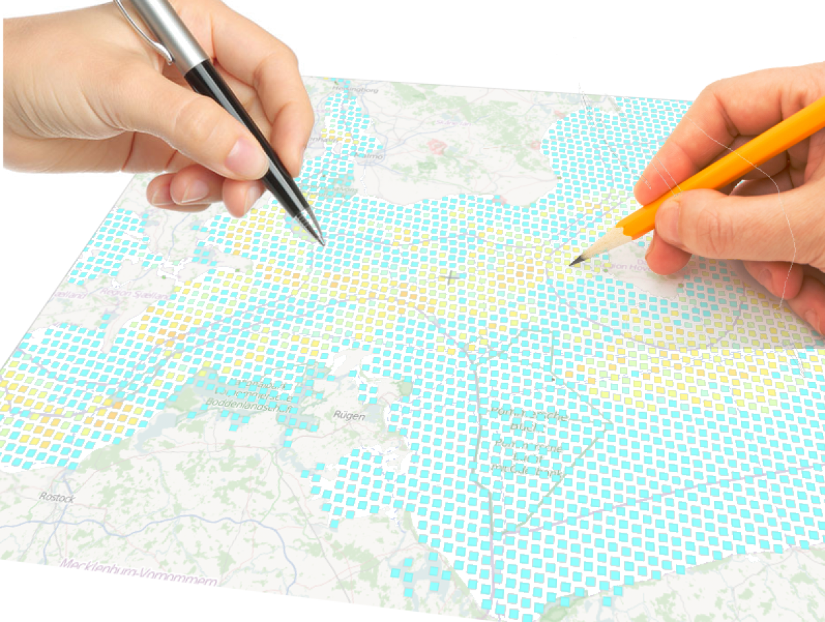
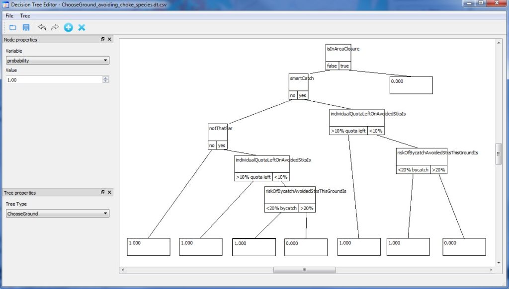
The ban on discarding unwanted fish overboard when fishing, which was decided during the last 2013 EU Common Fisheries Policy reform, requires that everything retained in a commercial fishing gear is recorded and counted against fish quotas when some exist like in Northern European waters. It is, however, difficult to reduce catches of a single fish species when a variety of fish is generally caught together. This creates a risk for early closures of fisheries when the quota of one fish (the “choke species”) is exhausted before the others. To cope with this and avoid an unnecessary low rate of quota utilization, fishermen can try to lease extra quotas, or modify their catches, either by switching to more selective fishing gear types or through changes in when, where and how to fish, by trying to avoid areas where there is a fair amount of possible choke species, and displace the fishery as soon as a large catch of choke species is encountered. This ability to displace will depend on the skills and choices of the skipper but also on how the fish stocks distribute in space and time (patchily vs. evenly distributed). We are developing here a platform to test such interlinked effects in a clear and detailed manner by accounting for varying skipper’s decision-making, such as for example the one described in the adjacent decision tree.
Category: economics
National fishing fleet economic performance and sustainable use of the ocean
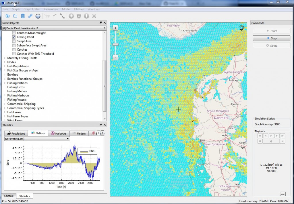
DISPLACE is a fisheries spatial ecosystem impact assessment tool that can be used to look at the consequences of fisheries and the benefits from managing them (including spatial fisheries closures) for a sustainable use and a viable economy of fisheries exploiting marine resources (fish, shellfish and marine invertebrates). The model simulates the fishing of individual vessels and their capacity to deploy their effort at fishing when constrained by spatial or temporal closures, other management, and including spatial restriction from other concurrent uses of the sea (fish farms, commercial shipping lanes, wind farm parks).
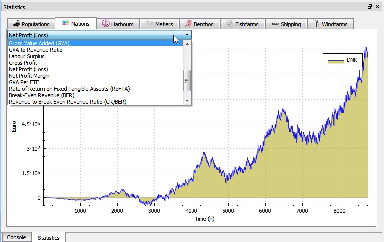
In this context, DISPLACE provides a basis for testing scenarios and projects the amount of income generated by national fishing fleets (or the economics of some finer segmentation such as fishing harbor communities) over months, quarters and years. We track aggregated economics and measure Income, Costs, Economic Indicators, Capital value, Profitability and development trends. DISPLACE is also a platform useful to compare fleet segments regarding their respective fuel efficiency and relative impacts by for example looking at the income issued from the sea for each unit of seabed area swept by the fishing gears.
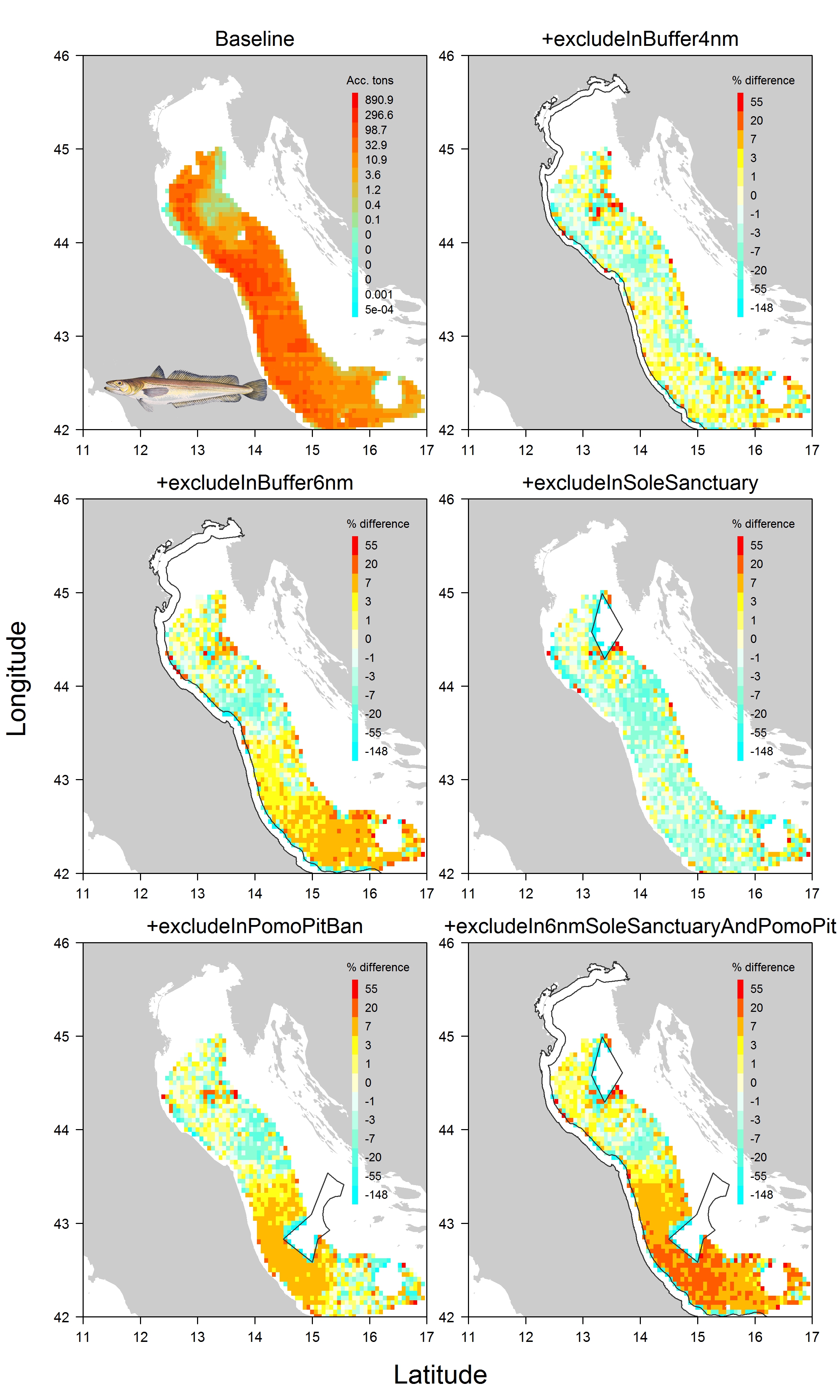
(Disclaimer! Attached screenshots in this margin are very preliminary outcomes and should not be used to give any kind of advice neither to deduce any kind of productivity levels)
Fisheries management in one of the most crowded marine area. Does spatial planning help?
The Adriatic Sea is one of the most crowded marine areas. Several fishing activities operate simultaneously in the area, and the need to minimize conflicts among them is also a social concern. We apply a fish and fisheries model accounting for space and time effects to study the impact that would result from a suite of spatial plans suggested by practitioners in order to reduce the pressure on the four main demersal fish and crustacean stocks (having high commercial interest) in the northern Adriatic. We also look at promoting space sharing between mutually exclusive activities.
Check out the open access paper for more information in Ecosphere
DISPLACE is a spatial impact assessment tool to anticipate the consequences of displacing fisheries on ensuring a better sustainability and economy of fisheries. The model simulates the activity of individual vessels and how they will use their time fishing and where given restrictions in space and time. By applying the model that fit the local fisheries of the Adriatic region, practitioners could further develop tailored applications to their area for both understanding the fine dynamic of the interlinked fish and fisheries here, and, in the meantime, acquire a helicopter view of the outcomes when the small-scale (fishing) operations at sea are aggregated. That kind of framework applied to the Adriatic or other areas should analyze and provide data with thematic reports/scenario on which the practitioners can rely on to project the fish stock population levels and fishery economy relevant to the ecoregion. The model contributes to the coordination and integration of different spatial activities in marine areas with the purpose of reducing potential inefficient management and use of space in accordance with the aims of the EU Marine Spatial Planning Directive (MSPD) and other Directives. In the project, the model is used to estimate the consequences of closing specific areas to fishing.
