In the competition for marine space, the fishing sector needs to prepare for management impacts from other directives than the EU Common Fishery Policy. Our purpose is to support the sector-specific stakeholders and policymakers and provide them with a tool for evaluating the spatial planning and management scenarios and spatial explicit fishery dynamics. This tool is informed by the different types of fishing activities and other activities occupying marine space. Continue reading “Impact assessment of spatial planning on the fishery economy and ecosystems”
Tag: maritime spatial planning
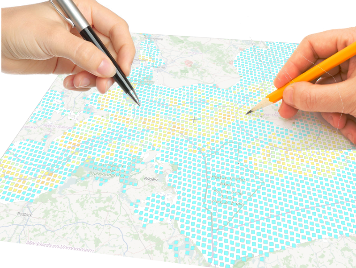
Spatial planning constraining cross-border international Baltic fisheries
 We recently presented a communication to the IIFET conference (International Institute of Fisheries Economics and Trade) about an impact assessment we are conducting on the large-scale western Baltic Sea fisheries:
“Supporting bio-economic evaluation of spatial planning constraining fishing activities: be quantitative, spatially-explicit, vessel-oriented, dynamic stochastic, and coupled to fish populations”
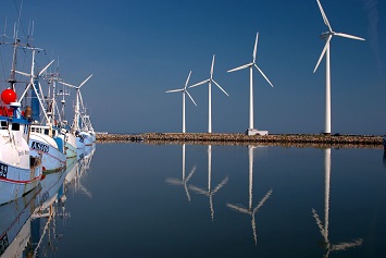
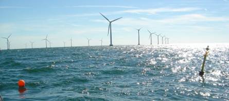
Maritime spatial planning and fishery management are likely to generate extra costs for the fisheries by constraining fishermen activity with conservation areas and new utilization of the sea such as offshore windmill parks. Growing concerns for greener and energy efficient fisheries are also likely to alter existing fishing patterns already varying from fishery to fishery and from vessel to vessel.
Continue reading “Spatial planning constraining cross-border international Baltic fisheries”
Participatory modeling of fisheries for supporting maritime spatial planning
 Modelling the interactions between fishery and stock dynamics as well as the economic fishery importance on a highly spatial disaggregated scale like in DISPLACE, is useful in context of broader spatial planning, marine management, and stakeholder involvement.
It is important to develop supporting tools for impact evaluations that can inform all parties (scientists, stakeholders, and managers) on the overall fishing sector dynamics on a highly disaggregated scale to develop a collective understanding and common discussion platform based on quantitative predictions of impacts and beneficial/detrimental effects of any new spatial marine planning project . As such, the DISPLACE model can be used to obtain further information on fishermen behavior with direct input from stakeholders (e.g., here).
 Such an approach should foster management choices to be based on a more objective and transparent basis and on actual feedback from the stakeholders when they react to spatial planning. More participatory management requires quantitative support and a common platform for input that will likely promote good fishing practices and achieve better compliance with the regulations and where stakeholders can feel more engaged in the ecosystem-based fisheries management decision process (also advocated here).
The goal is to also inform managers with quantitative supports about the potential gain of spatial regulations against the cost for displacement when fishermen loose access to valuable fishing grounds and/or have to travel more to go fishing from their home harbor to make a living out of the catches.